Quaboag
Lucy Stone Park in Warren to Route 67
| Difficulty | II-III |
| Length | 5.3 mi |
| Avg Gradient | n/a |
| Gauge | Quaboag River at West Brimfield, Ma |
| Flow Rate as of 51 minutes | 2.62 ftbelow recommended |
| Reach Info Last Updated | February 20, 2019 |
The Quaboag starts at the Lucy Stone Park as a class II river for almost half of the run then turns into a class III pool drop river with one carry around a dam. This is often referred to as the 'Class IV Portage', because it involves descending a steep bank lined with riprap to access the water below the dam.
Putting on at Lucy Stone Park, the first significant drop you come to is Mouse Hole, a short but abrupt III. It is located where Main St intersects with Cross Rd in Warren, and it is recommended to scout it for wood while you are driving by on your shuttle.
The next notable drop is after the portage, upstream of the Gilbert Rd bridge in Warren. This is Broken Dam, which presents itself as a somewhat intimidating river-wide horizon line. Paddling up to the lip, though, you find that it's boat-scoutable and not so bad. Most run just left of center.
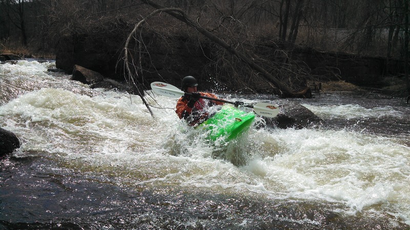
As you pass the wastewater treatment plant and the famous outhouse on river right, the next railroad bridge signals the start of Angel's Field, the rowdiest rapid on the river. It's a III+ with a hole at the bottom, into which the boater in the cover photo above is dropping into.
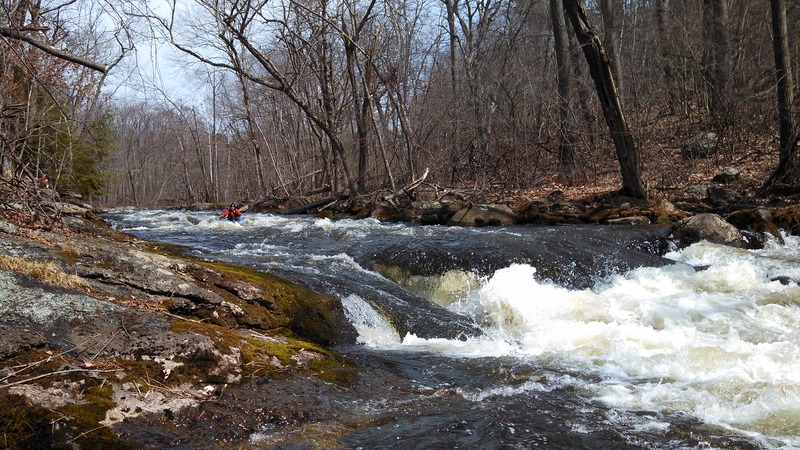
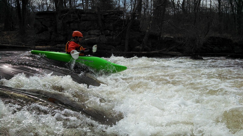
Further downstream you will enter Devil's Gorge, which despite its name is only a III. It does contain a 4-foot-tall river-wide ledge, which can be easily run on extreme river right if you just want to get past it, or you can be more adventurous and experiment with other lines.
Caution: Be on a constant lookout for downed trees. There are a lot of beavers in the area and they're all on steroids. They've been knocking down huge trees that have spanned the entire river. This video, recorded 3/22/2014, is one scary example.
For a complete description refer to the guidebook 'Classic Northeastern Whitewater Guide' by Bruce Lessels.
Putting in at West Warren below the dam for the mill cuts out the portage. There is a seal launch next to a small building off of South St. The lot next to the put in is marked as a tow away lot so be mindful and park back at the lot where South St and Main St intersect.
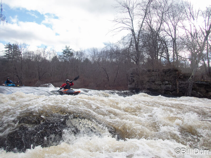
A crumbling dam that creates a river wide horizion line. It's boat scoutable and run slightly left of center. Look for where the flake from the dam extends slightly away from the hole.
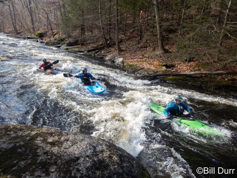
Last larger rapid on the river. Starts out by tightening up to a gorge. The entrance has a nice series of surf waves. The eddy river left above the boulder that forms the constriction is a good spot to catch the top wave. The boulder also forms a great eddy that provides service to all three waves. Below the surf spot is some boogie water then a river wide ledge. Easiest line is far right down the slope or boofing into the eddy. Center right has a boof over a sticky hole. There are other lines through as well.
Nice circular pull off along the road. Easy to see your cars from the river with a nice eddy that makes it easy to get out. No cell service
Some notes on running:
- Broken dam, most fluid route center right. Boat scout before taking it.
- Right channels at the islands are generally safer because of eddies and ability to boat scout.
- Last drop in gorge easiest on left or far right (boofing off rock)
Current strainers to watch out for:
- big one below cresent street bridge rapid. visible from road. stay far right.
- where river turns left under railroad bridge, big strainer on right behind bridge, left channel around the island right after is fully blocked.
- other strainers avoidable via boat scouting.
- YMMV.