Catoctin Creek
US 40 (Doubs Meadow Park) to Potomac River
Mar 3, 2024
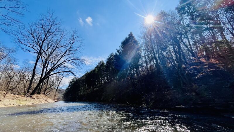
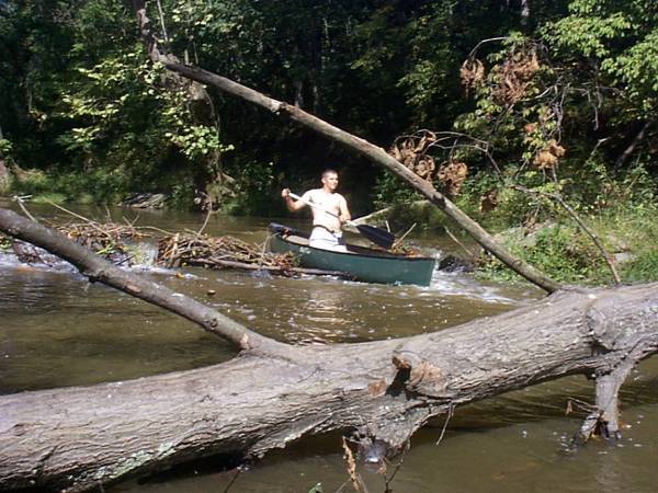
Packrafted from Catoctin Nature Park to the Catoctin Acqueduct; total run time just shy of three hours. The water level was good throughout, with only a few brushes of rocks along the way, and only one spot (next to / under the Point of Rocks Road / Rt. 464 bridge) where it was unavoidable. All Class 1 rapids, some nice and bumpy / splashy but none challenging. No strainers across the entire creek _except_ at Catoctin Acqueduct, which was completely blocked by trees, branches, and debris; had to take out between the acqueduct and the train tracks. Lots of Bald Eagles, Canada Geese, Belted Kingfishers, and other critters throughout.
(This was a bikerafting trip, riding from Brunswick to the park ~10mi, then ~10mi paddling, and ~5mi ride on the C&O back to Brunswick.)
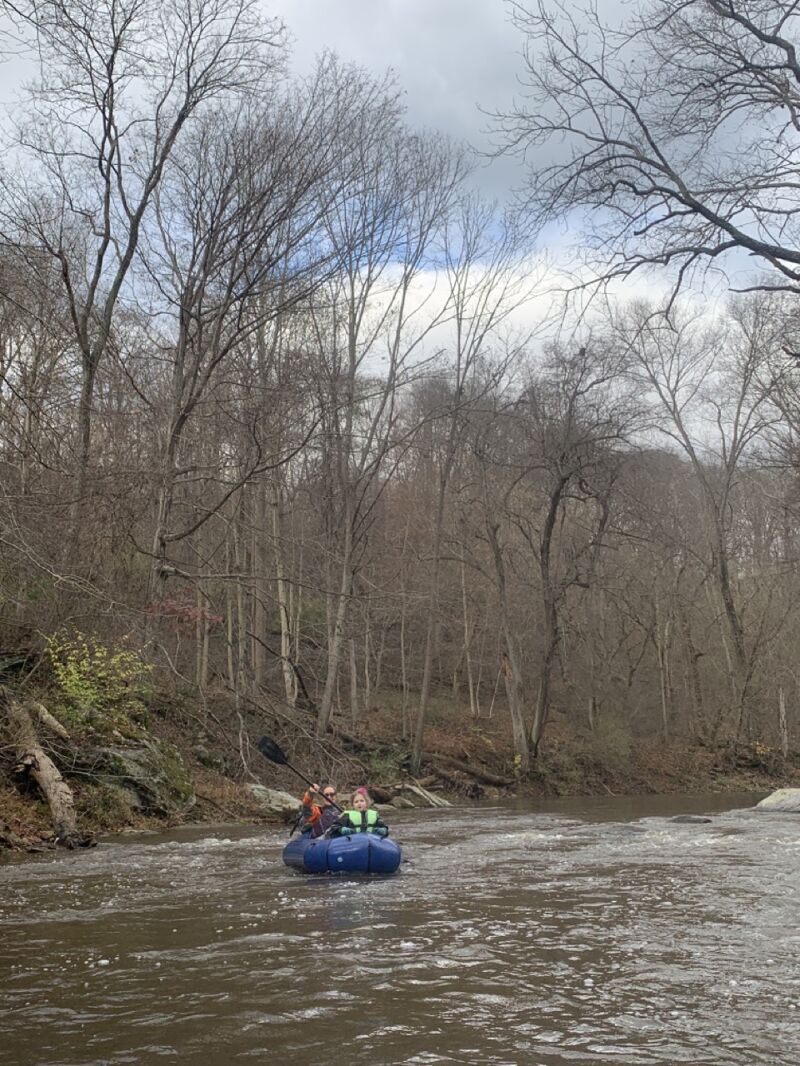
Nov 12, 2022
This trip from the Highway 17 bridge (next to the USGS gage) to Catoctin Nature park was peaceful and uneventful. Class I all the way...maybe Class I bumpiness when aiming for every wave and drop?..and at the gage height of 2.25-2.3 during the trip, was right at the limit of what was runnable. Lots of Belted Kingfishers and other birds, and beaver made an appearance too. Easy hike out at Catoctin Nature Park, then biked back, mostly on back roads, to the put-in.
Apr 4, 2019
2.4 or 170CFS is probably a better minimum although it is passable at 2.2.
Jan 4, 2019
The Shank Road access point does not appear to be legal anymore. The entire length of Shank Road along Catoctin Creek is posted Private Property / No Trespassing. This was observed on 12/29/2018.
Aug 6, 2018
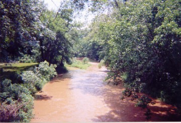
'Catoctin Creek Md is clear from Middletown to route 180. Someone has chainsawed a few trees out.' -- report by John Duke, 8-6-18, on the BRV FB page.
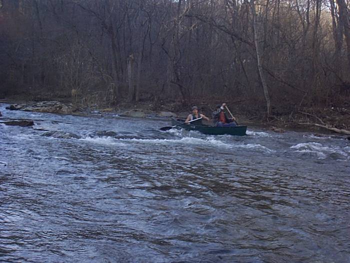
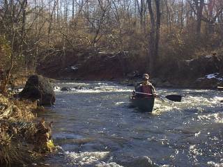
Nov 20, 2006
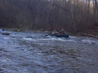
Ran the Brethern Church Rd. to Shank Rd. section on 11/19/06 with Chris Williams and Lee Plate. Slightly scrapey at 2.32 on guage. 2 river wide strainers, one 1 mile above take out that is barely passable on left anthe other immediately past Shank Rd intersection that is NOT passable. Good trip!!!
Nov 20, 2006
Ran the Brethern Church Rd. to Shank Rd. section on 11/19/06 with Chris Williams and Lee Plate. Slightly scrapey at 2.32 on guage. 2 river wide strainers, one, 1 mile above take out that is barely passable on left and the other immediately past Shank Rd intersection that is NOT passable. Good trip!!!
Apr 7, 2005
Also, it is Sumantown Road, not Shumantown Road :)
Jun 15, 2003
It's not 'Rte 80', its 'Rte 180'.
Jan 15, 2003
very small rapid at the exit of the mini gorge, pursay. it could be pretty intense with another foot of water.
Jan 9, 2003
This is in the realy nice section below the rt. 17 bridge(Myersville)and Shank rd.
Any questions on this creek inquire at dukejohn999@aol.com
Sep 15, 2002
Mddletown gauge
Jun 15, 2002
To see the full-sized version of this photo, click here.