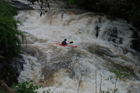
North Fork Feather Releases!
Saturday, the parking issues are tremendous and we ask ALL kayakers to please use the shuttle service located at the Cresta Powerhouse. The Forest Service is asking the Highway Patrol’s assistance in ensuring that NO private vehicles be allowed to stop at the put-in location between the tunnels just below Cresta Dam. Caltrans, the Highway Patrol, and the Forest Service are very concerned about traffic safety at the put-in location so please park at the Cresta Powerhouse and USE THE